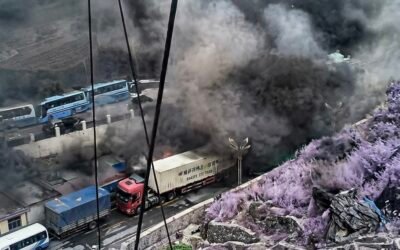
A gigantic hydroelectric project is being pursued in the Tibetan Autonomous Region, in an area that is both sacred and geologically risky.
by Marco Respinti
Article 1 in a series of 2.
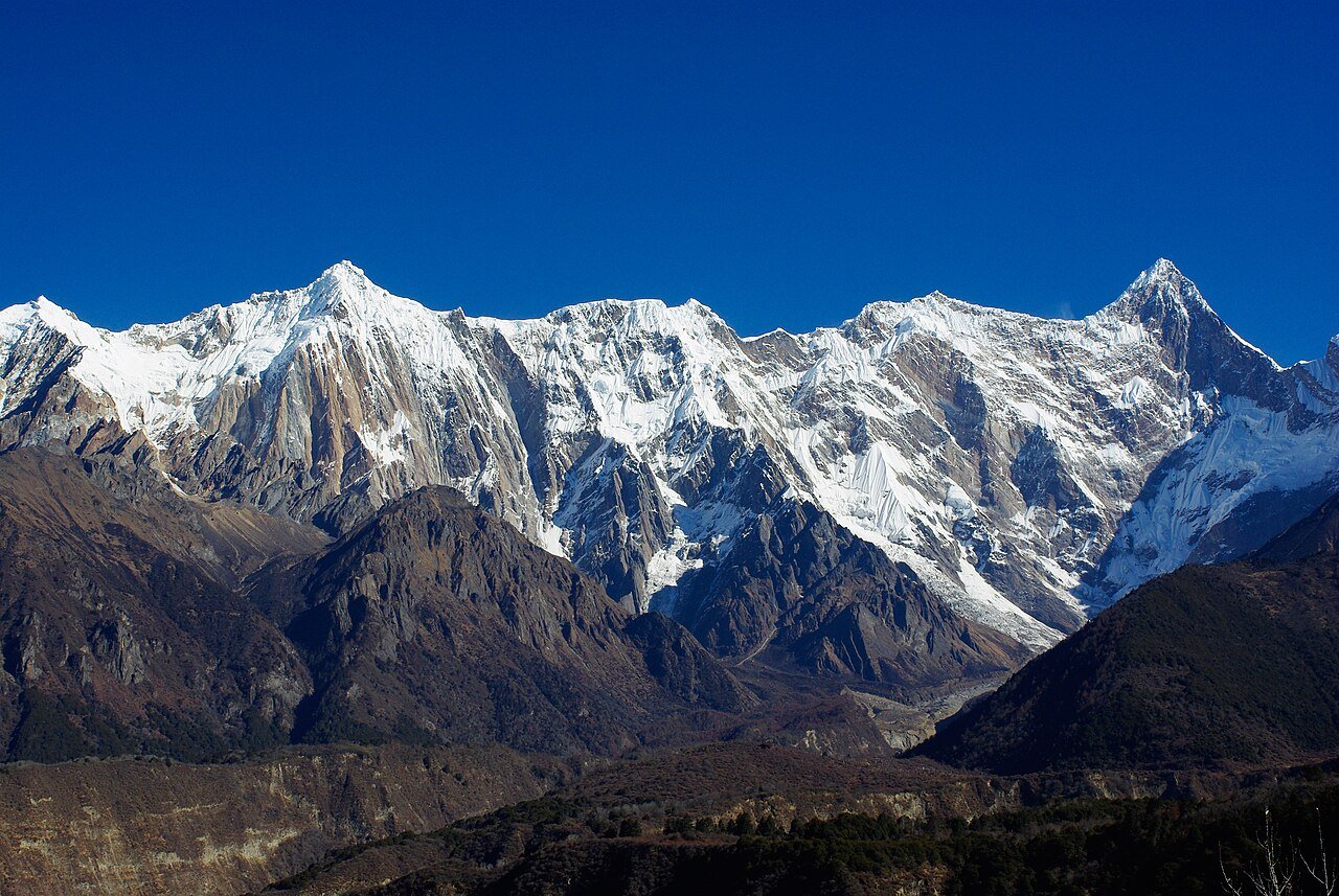
Beginning in July 2025, following its approval at the end of the previous year, the People’s Republic of China (PRC) is building a massive $167 billion hydropower project in the Tibet Autonomous Region (TAR). Planned to have a total capacity of around 60 gigawatts when construction is completed, expected in the early 2030s, the project comprises five cascading stations along the lower reaches of the Yarlung Tsangpo River, which in India becomes the Siang and then the Brahmaputra. It is a pharaonic enterprise, but it poses a dire question: Will the Communist regime of the PRC pursue it even at a potentially enormous human cost?
The whole project can in fact be a time bomb. An article in “The South China Morning Post” (SCMP) mentioned “[…] an active fault line directly beneath the world’s largest hydropower project” that “[…] poses a threat to the mega-dam now being built.” It is not a sensationalistic alarm launched by some unscrupulous journalist, nor a plot by some foreign enemy. It is the result of a Chinese scholarly research paper published in Mandarin in the specialist Chinese-language journal “Sedimentary Geology and Tethyan Geology,” authored by geologists from Chengdu University of Technology and the Civil-Military Integration Center of the China Geological Survey. They urge the builders to strengthen slope stability and implement retaining protections to mitigate the risk of landslides and collapses.
This is not new, though. In fact, the area’s seismicity is well known. Over the past several decades, numerous research articles have reached similar conclusions. Still, the PRC usually prefers to forget this inconvenient truth, which could tarnish its carefully cultivated image of triumphant progress and unlimited power even over nature.
“Incalculable damage was done in the mountains…”
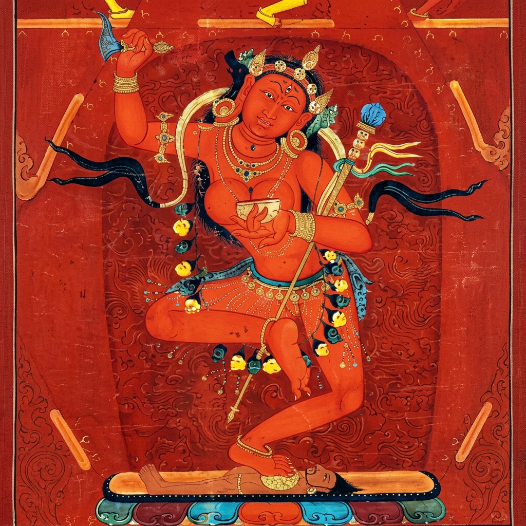
One important point to note is that this area, known as Pemakoe, is one of the holiest places in Tibet. It is a “Beyul,” a hidden valley protected by mountains and glaciers that, in Tibetan folklore, are considered natural spiritual sanctuaries. In these places, one takes refuge when the world is going through a deep crisis. Pemakoe is also the abode of Vajravārāhī (Dorje Pakmo for Tibetans), the protector of this sacred realm and the gorges of the Yarlung Tsangpo.
Apart from the Lhoba (or Lhopa) people—an ethnic minority in the TAR closely related to larger minorities living in the Indian state of Arunachal Pradesh and known there by various names, including Adi and Mishmi, as well as in Bhutan and Myanmar—very few people lived in Pemakoe in the past. Most of the other dwellers migrated from Kham in Eastern Tibet, Monyul in Bhutan, and the Tawang areas, while some Tibetans came from Bome in the North. Notably, these people came to the area for spiritual reasons, looking for a sort of “paradise” on earth.
Everything changed, though, on August 15, 1950. On that day, an earthquake of magnitude 8.6 on the Richter scale, the most powerful of the 20th century, struck Southern Tibet, including Pemakoe. A young and highly initiated lama, Kunzang Dechen Lingpa Rinpoche (1928–2006), witnessed that catastrophe and recorded it in his memoirs.
Translated and commented on by Amelia Hall in her 2012 Ph.D. thesis at the University of Oxford, ”UK, Revelations of a Modern Mystic: The Life and Legacy of Kun bzang bde chen gling pa” (1928–2006), the memoirs contain the following observation by that prestigious lama: “As I was starting my afternoon meditation, I felt the earth and my little meditation house shaking intensely. I saw that the tops of my house pillars and the two roof beams were starting to separate. When all the offerings and butter lamps in front of my altar fell, my attendant and I went outside and jumped into a pile of brambles. Due to the compassion of Guru Rinpoche [Padmasambhava, 8th century] and [his consort] Yeshe Tshogyal [757–817] we were not pierced by any of the thorns. As we were shaken away from the retreat house the foundations collapsed. Afterwards, the whole region, the entire mountainside had eroded and the land from mountain to river was destroyed. All the trees were uprooted and many animals and birds had been killed. The valleys were full of avalanche snow, and the upper waters of the Tsang-po River were penned in and rose up” (p. 70).
English explorer and botanist Francis Kingdon-Ward (1885–1958), similarly quoted in Hall’s Ph.D. thesis, adds: “Incalculable damage was done in the mountains… the immediate result of the earthquake was to pour millions of rocks and sand into all the main rivers and their tributaries—thereby displacing millions of cubic feet of water. Nor was that all, for with the rock too often went the forest, which was growing on it, thereby impeding and blocking the rivers… Any temporary advantage which might have been gained by the slowing of the current was quickly canceled by sudden waves of flood water.”
Also, Kunzang Dechen Lingpa was astonished by those natural upsets and, as Hall summarizes his thought, “[t]he effects of the earthquake went on for some time as entire mountains were completely stripped of vegetation…”
A critical crossroad
In the mentioned Chinese scholarly paper quoted by the SCMP, Chinese geologists say: “The Paizhen Fault, which has been highly active since the Pleistocene [i.e., the Ice Age], will have a major impact on the structural stability and construction of nearby structures, including dams, roads, bridges and tunnels, as well as the reservoir area.” The fact that the SCMP article received a lot of publicity probably means that many in the PRC do not agree with the mega hydroelectric project, which can only result, one day, in devastation in Pemakoe—as well as in India downstream.
The main characteristic of the area, known as the Great Bend of the Yarlung Tsangpo, is the difference in altitude between the beginning of the Bend at Pai, located at 2,900 meters above sea level, and the end, at only 600 meters, 60 km away as the crow flies, where the river enters India and becomes the Siang. It is this that creates the attractive target of a hydro-potential of 60 gigawatts, which the PRC has decided to utilize despite the seemingly insurmountable technological, environmental, and political difficulties.
Also, it should be noted that the diversion route will run close to the Doshung-la tunnel and the new G219, which links Xinjiang/East Turkestan to Mainland China along Tibet’s southern borders. The opening of a new road via the tunnel to Metok in 2021 greatly facilitates the HPPs’ construction. Incidentally, the G219 was formerly known as the Aksai Chin road (which crossed India’s territory in Ladakh).
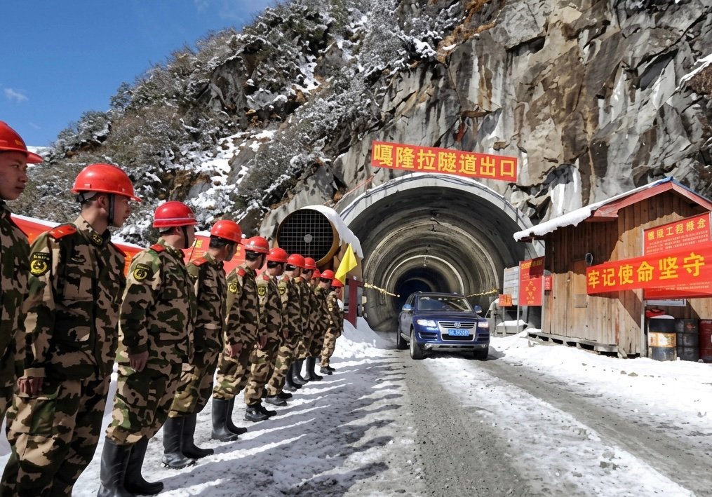
Thus, the project means the arrival of tens of thousands of migrant workers from the Mainland, changing the demography of this sensitive border area. Villages have already been constructed for them.
As is evident from a letter he sent to “The Hon’ble the Chief Secretary to the Chief Commissioner of Assam,” dated “Shillong, the 14th September 1913” and preserved in the National Archives of India, Capt. G. A. Nevill of the Indian Police visited the area that year and thought that the best frontier with Tibet should pass through Namcha Barwa, an almost 8,000-meter-high mountain in the Eastern Himalayas.
“Our information regarding the frontier in the Tsangpo valley is uncertain,” he wrote to London, “as we did not go down far enough, but the Abor Survey party should have definite information. The line follows the mountain range north-east, passing the Tamnyen and Doshung passes to Namcha Barwa.” That line made sense geographically, as the Namcha Barwa was the highest peak in the area and most of the population was of Indian tribal origin.
If London had accepted it, the entire Pemakoe would have been Indian, with far-reaching implications for the environment and the place’s sacredness in the years to come. But it didn’t—and the Pemakoe sacred region fell within the Chinese borders. Eventually, it became part of a country controlled by a regime that despises spiritual values and human lives.
The region has already been deeply scarred spiritually, and the earth beneath it is unstable. Heaven forbid that the warning issued by Chinese geologists should go unheeded, for doing so would give the regime yet another opportunity to demonstrate its cruelty in the face of a possible new natural disaster.

Marco Respinti is an Italian professional journalist, member of the International Federation of Journalists (IFJ), author, translator, and lecturer. He has contributed and contributes to several journals and magazines both in print and online, both in Italy and abroad. Author of books and chapter in books, he has translated and/or edited works by, among others, Edmund Burke, Charles Dickens, T.S. Eliot, Russell Kirk, J.R.R. Tolkien, Régine Pernoud and Gustave Thibon. A Senior fellow at the Russell Kirk Center for Cultural Renewal (a non-partisan, non-profit U.S. educational organization based in Mecosta, Michigan), he is also a founding member as well as a member of the Advisory Council of the Center for European Renewal (a non-profit, non-partisan pan-European educational organization based in The Hague, The Netherlands). A member of the Advisory Council of the European Federation for Freedom of Belief, in December 2022, the Universal Peace Federation bestowed on him, among others, the title of Ambassador of Peace. From February 2018 to December 2022, he has been the Editor-in-Chief of International Family News. He serves as Director-in-Charge of the academic publication The Journal of CESNUR and Bitter Winter: A Magazine on Religious Liberty and Human Rights.